
MTG-S1 launches with weather and air-quality instruments
MTG-S1 launched from Florida with an infrared sounder and Sentinel-4, pairing atmospheric profiles with hourly air-quality observations over Europe in daylight.
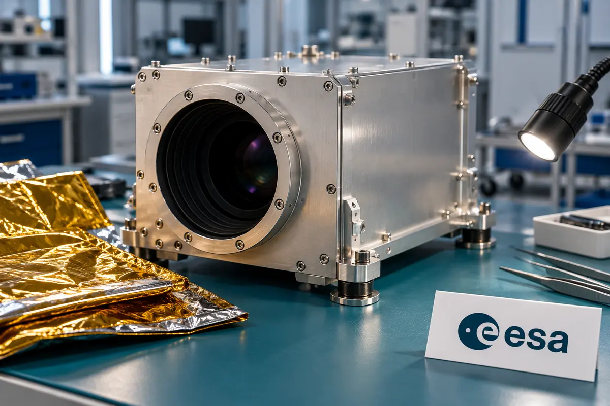
Two instruments head toward geostationary orbit
MTG-S1 launched aboard a SpaceX Falcon 9 from Kennedy Space Center’s Pad 39A in Florida, United States, on July 1, 2025, at 21:04 UTC. The upper stage deployed the satellite about 35 minutes later. Its destination is geostationary orbit, 35,786 kilometres above Earth. Instrument checkout will precede the start of operations.
Booster B1085 completed its ninth launch and landing, returning to the Atlantic drone ship Just Read the Instructions about 8.5 minutes after liftoff. EUMETSAT, based in Germany and serving 30 member states, operates the Meteosat programme. The launch follows the first MTG Imager’s December 2022 flight. MTG-S1 carries two atmospheric instruments:
- Infrared Sounder: weather profiling.
- Copernicus Sentinel-4: air-quality spectroscopy.

Vertical profiles for short-range forecasting
The Infrared Sounder measures infrared spectra across its pixels to retrieve temperature, humidity and trace-gas information at different atmospheric heights. Imaging Fourier-transform spectrometry identifies the spectral signatures produced when atmospheric gases absorb or emit infrared radiation. ESA’s technical explanation specifies 1,700 infrared channels and a 30-minute revisit over Europe. The resulting vertical profiles add information beneath the cloud-top views supplied by imaging satellites.
Nowcasting concerns conditions minutes to a few hours ahead, including rapidly developing thunderstorms and flash floods. ESA expects the sounder to help forecasters track changes in temperature and moisture before storms mature. Vertical measurements can identify inversions, where warm air overlies cooler air and can suppress convection until the inversion breaks down. Combined with wind estimates, these profiles are also intended to help meteorologists locate turbulence, including hazards without visible clouds, and improve information available for flight planning.

Hourly daylight measurements of pollution
Sentinel-4 is an ultraviolet, visible and near-infrared imaging spectrometer mounted on the same spacecraft. It measures direct sunlight and sunlight reflected by Earth’s surface and atmosphere. Trace gases leave spectral signatures that allow scientists to estimate nitrogen dioxide, ozone, sulphur dioxide, formaldehyde and glyoxal, alongside aerosols. Its planned hourly scans cover Europe and part of northern Africa; the mission preview specifies daylight observations.
Traffic, domestic fuel use and industry vary during the day, while wind and chemical reactions alter pollution patterns. Frequent observations are intended to capture these changes between the daily snapshots available from polar-orbiting missions. ESA developed the instrument and data processors; EUMETSAT developed the receiving, processing and distribution ground segment. The planned data products will support Copernicus atmosphere and climate services, pollution forecasting and scientific research.
Leave a comment