
Bedrock’s new seafloor-survey funding
Bedrock’s $25 million financing follows prior platform launches and Monterey Bay field trials combining autonomous surveys with tools for sharing seafloor data.
New funding
Bedrock Ocean has raised $25 million in a Series A-2 round.
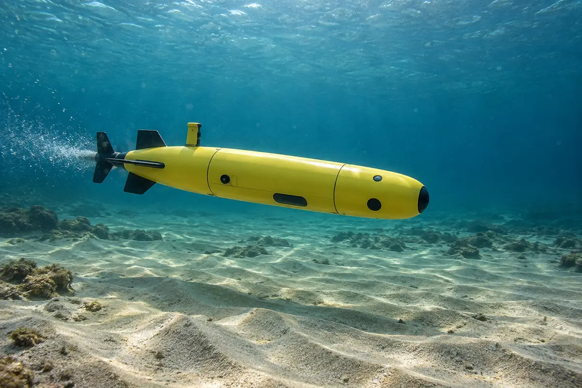
The financing follows earlier steps in the company’s survey technology. On 19 August 2021, Bedrock announced an offering that paired electrically powered autonomous underwater vehicles with Mosaic, a cloud platform for storing, accessing and sharing marine-survey data. Mosaic opened for beta registrations that day. Its intended users included owners and managers of both new and historical survey datasets, with access independent of which organisation had originally acquired the data.

Survey measurements and a shared-data model
Bedrock subsequently secured a separate $25.5 million Series A round in July 2023. Northzone and Primary Venture Partners co-led that financing, with participation from Valor Equity Partners and existing investors Eniac, Quiet Capital and R7. The company intended to expand its autonomous-vehicle fleet and bring its data offering to offshore wind developers. Its survey portfolio encompassed:
- Bathymetry, describing the shape of the seabed.
- Acoustic backscatter measurements.
- Side-scan sonar imagery for identifying objects and geological features.
- Magnetic observations for detecting ferrous material.
Alongside those measurements, Bedrock was developing a multi-client approach to data distribution. Its stated aim was to build a library that could be licensed to several users, instead of leaving survey information in separate customer silos. Fleet expansion and broader offshore deployments were objectives of the 2023 financing.
Cloud storage formed part of the earlier launch
The 2021 Mosaic launch included a free tier with 50 GB of private seafloor-data storage. Users with internet access could contribute marine observations to a public dataset and download available material. The service was intended to handle raw and processed survey information in one place.
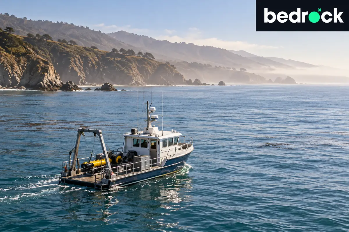
Bedrock completed its first ocean deployment in Monterey Bay, California, in March 2023. The test focused on operating the vehicles in marine conditions and checking the reliability of collected observations. The company gathered bathymetric, backscatter, side-scan and magnetometer data. It subsequently made processed observations and analysis publicly available through Mosaic, describing the work in February 2024.

A known outfall provided another field target
A second operation mapped a known outfall pipe and its surrounding seabed in Monterey Bay in the United States. The resulting bathymetric profile placed the pipe about four metres above the seafloor. Different seabed depths on either side led the company to suggest that the pipe might act as a barrier to sediment moving along the coast.
Bedrock also made the processed data and analysis for the outfall survey publicly available. Both exercises formed part of its 2023 ocean-testing programme.
Leave a comment